

Breckenridge could be in for some wintery weather
The National Weather Service is predicting the possibility of light freezing precipitation Saturday night and Sunday morning across portions or north and west central Texas, including Stephens County. More specifically, according to the NWS, there could be patchy drizzle after 3 a.m. in Stephens County. But, it should be mostly clear, with a low around 33 and a south wind of 5 to 10 mph, becoming north northwest after midnight.
On Saturday, we can expect mostly cloudy skies, with a temperature falling to around 33 by 8 a.m. and a north wind of 10 to 15 mph, with gusts as high as 25 mph. By Saturday night, there’s a slight chance of rain or freezing rain before 9 p.m., then a slight chance of freezing rain. The forecast shows cloudy skies, with a low around 24 and a north wind around 15 mph, with gusts as high as 25 mph. Chance of precipitation is 20 percent.
Sunday’s forecast starts out cloudy, then gradually becomes mostly sunny, with a high near 39 and a north wind of 10 to 15 mph, with gusts as high as 25 mph. Sunday night should be partly cloudy, with a low around 21 and north winds around 5 mph, becoming calm in the evening.
By Monday. we can expect mostly sunny skies, with a high near 53. The calm wind should become southeast around 5 mph in the morning, according to the NWS.
In preparation for the potential freezing precipitation, crews with the Texas Department of Transportation’s Brownwood District have been pretreating and monitoring state roadways in the district’s nine counties, including Stephens County.
TxDOT has extensively used brine, a solution of water and salt, in recent years as an effective pretreatment for roadways prior to freezing precipitation. The brine is applied using spray nozzles attached to tanks mounted on the back of TxDOT trucks, forming a milky appearance on the roadway. The brine helps to prevent the bonding of frozen precipitation to the pavement, aiding in the removal of snow and ice.
TxDOT encourages travelers to plan ahead and check roadway conditions prior to travel beginning Saturday. TxDOT roadway conditions statewide are available at DriveTexas.org or by calling 1-800-452-9292. The Brownwood District Twitter feed (@TxDOTBWD) will be updated as road conditions change. Other TxDOT Twitter feeds and the TxDOT Facebook page are also valuable resources for travel conditions across the state.
TxDOT also reminds drivers that posted speed limits may not necessarily be safest speeds during inclement weather, even on treated roadways. All motorists are advised to reduce speeds and increase following distances on roads that have been impacted by precipitation. Extra caution is advised on bridges and overpasses, as these structures are usually the first to freeze over.
More winter weather travel information is available on the TxDOT website, www.txdot.gov/driver/weather/winter-travel.html.
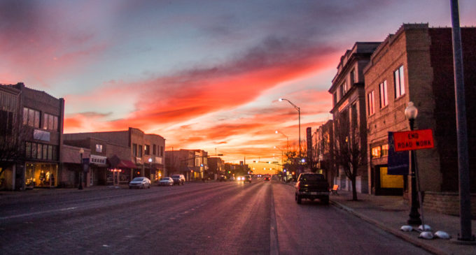
Cutline, top photo: Breckenridge saw a brilliant sunset Friday evening in advance of the cold front that is expected to keep Saturday’s high temperatures below 40 degrees. According to the National Weather Service, we could see some freezing rain Saturday night. (Photo by Tony Pilkington/Breckenridge Texan)


